State and Regional Climate Change Connections
Climate change is affecting all regions and sectors of the United States. This resource highlights climate change connections to culturally, ecologically, or economically important features of each state and territory. As climate change will affect each region, state, and territory in diverse ways, this resource only describes a small portion of these risks. As such, this content is not intended to be comprehensive and may omit some of the most prominent climate impacts in a state or territory.
For more comprehensive information about climate impacts, please visit the Fifth National Climate Assessment and other EPA web areas about Climate Change Impacts by Sector and Climate Change Impacts on Health.
Select a state or territory from the map or the drop-down menu to learn about local examples of climate change impacts. Within each page, you can click the map on the right to return to this homepage or use the drop-down menu to navigate directly to another state or territory. This page also includes regional summaries of climate impacts and resources for further reading.
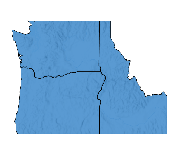
Northwest
Home to nearly 14 million residents, including 43 federally recognized Tribes, the Northwest hosts a diverse array of ecosystems, including coastal areas, forests, mountains, and grasslands. Climate change is threatening many of the Northwest’s communities, native plants, and animals through reduced snowpack and summer precipitation, more frequent wildfires and wildlife smoke days, and intensified ocean acidification. Extreme precipitation events are projected to become more severe and occur more often. Sea level rise is expected to further impact coastal communities.
To learn more about regional climate impacts, please visit Chapter 27. Northwest of the Fifth National Climate Assessment. To explore EPA’s adaptation efforts, please visit 2022 Region 10 Climate Adaptation Implementation Plan (pdf) (851.98 KB).
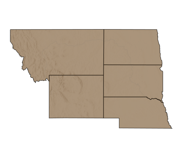
Great Northern Plains
The Northern Great Plains mainly comprise of rural and connected natural areas, farms, and wildlands and is home to diverse Indigenous communities. Climate change has already impacted the Northern Great Plains’ natural resources, economies, and recreation opportunities through extreme and variable weather events and warmer temperatures, all of which will continue as climate change progresses. Moving forward, the region is projected to experience more intense droughts and increases in hail frequency and size, floods, and wildfires.
To learn more about regional climate impacts, please visit Chapter 25. Northern Great Plains of the Fifth National Climate Assessment. To explore EPA’s adaptation efforts, please visit 2022 Region 8 Climate Adaptation Implementation Plan (pdf) (1.28 MB).
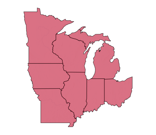
Midwest
Over 86 percent of the Midwest is covered by croplands, forests, or designated public land and the region boasts over 40,000 natural lakes. The Midwest has 41 cities with at least 100,000 residents each and there are 35 federally recognized Tribes in the region. Since 1950, the Midwest’s ecosystems, wildlife, and communities have experienced warmer temperatures, more extreme precipitation events, and more rapid transition between wet and dry conditions. These climate impacts will continue to affect the community and environment. Extreme drought and floods are projected to become more frequent and severe and earlier snowmelt is expected to affect streamflow and soil erosion.
To learn more about regional climate impacts, please visit Chapter 24. Midwest of the Fifth National Climate Assessment. To explore EPA’s adaptation efforts, please visit 2022 Region 5 Climate Adaptation Implementation Plan (pdf) (1.23 MB), 2022 Region 6 Climate Adaptation Implementation Plan (pdf) (2.35 MB), and 2022 Region 7 Climate Adaptation Implementation Plan (pdf) (1.1 MB).
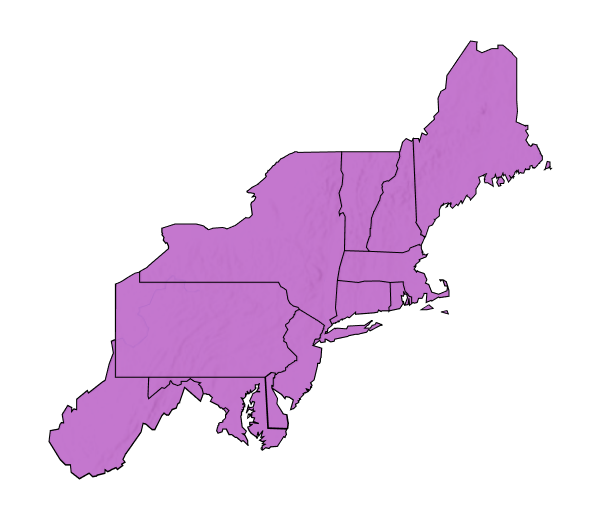
Northeast
The Northeast region’s landscape includes rural and urban areas, coastlands, forests, and estuaries. The Northeast is home to over 67 million people, including 18 federally recognized Tribal Nations and many Indigenous Peoples. Climate change has already impacted the Northeast’s people, environment, industries, and infrastructure through extreme heat events, sea level rise, poor air quality, droughts, and flooding. Climate change is impacting the region’s tourism, outdoor recreation, and agricultural sectors. Extreme precipitation events, coastal flooding, and heatwaves are expected to become more severe and occur more often.
To learn more about regional climate impacts, please visit Chapter 21. Northeast of the Fifth National Climate Assessment. To explore EPA’s adaptation efforts, please visit 2022 Region 1 Climate Adaptation Implementation Plan (pdf) (3.12 MB), 2022 Region 2 Climate Adaptation Implementation Plan (pdf) (1.38 MB) and 2024 Region 3 Climate Adaptation Implementation Plan (pdf) (3.46 MB).
Southwest
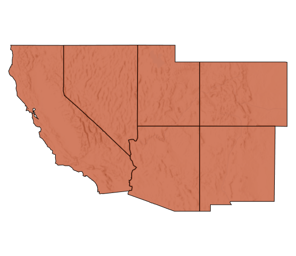
The Southwest covers almost 18 percent of the U.S. land area and is home to over 60 million people, including 182 federally recognized Tribes. The region is comprised of a variety of ecosystems, including deserts, grasslands, forests, alpine meadows, coastal areas, and urban and rural areas. Climate change is impacting the Southwest’s cultural heritage, built infrastructure, and economies through warming temperatures, variable rain events, sea level rise, lake level declines, increased extreme heat and drought events, reduced groundwater availability, and increased wildfire risks. The region is projected to experience more years with less snow, more extreme rain events and flooding, longer and more frequent heat waves, and larger and more severe wildfires.
To learn more about regional climate impacts, please visit Chapter 28. Southwest of the Fifth National Climate Assessment. To explore EPA’s adaptation efforts, please visit 2022 Region 9 Climate Adaptation Implementation Plan (pdf) (2.25 MB).
Southern Great Plains
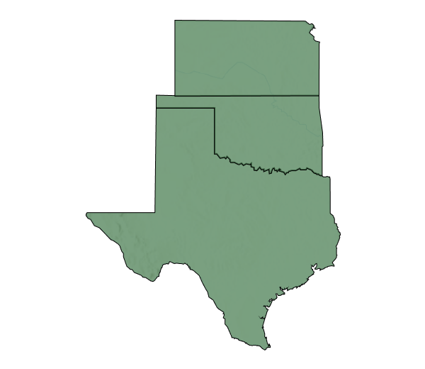
The Southern Great Plains consists of coastland, beaches, forests, grasslands, urban and rural areas, scrublands, rangelands, and croplands. The region’s diverse environment is also home to 47 Federally Recognized Tribes and many generations of Indigenous Peoples. To date, climate change has impacted the region’s wild plants, animals, tourism, and recreation opportunities through low annual rainfall in the western portion and high rainfall in the eastern portion, warmer temperatures, and intense and long drought events. As climate change progresses, these trends will continue in the region. For example, the number of extremely hot days is projected to increase, and the number of extremely cold days is expected to decrease.
To learn more about regional climate impacts, please visit Chapter 26. Southern Great Plains of the Fifth National Climate Assessment. To explore EPA’s adaptation efforts, please visit 2022 Region 6 Climate Adaptation Implementation Plan (pdf) (2.35 MB) and 2022 Region 7 Climate Adaptation Implementation Plan (pdf) (1.1 MB).
Southeast
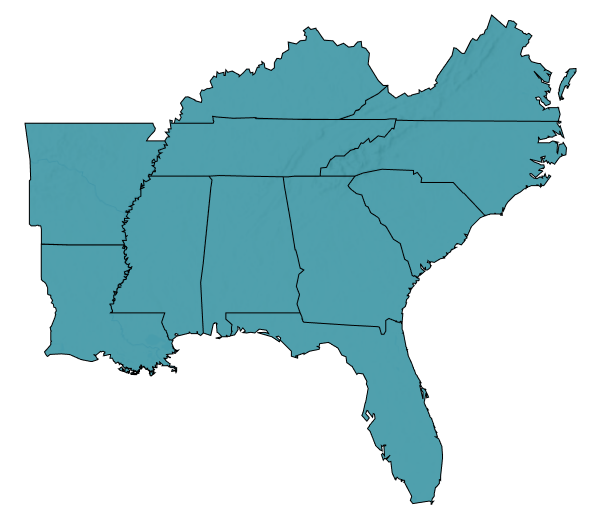
The Southeast is home to highly diverse communities including six federally recognized Tribes. As one of the most biodiverse areas in the continental U.S., this region features dynamic forests, urban centers, rural areas, and coasts with beaches, reefs, and wetlands. The Southeast faces increasing intensity of climate change impacts including warming temperatures, extreme precipitation events, droughts, sea level rise, and tropical cyclones. The region has experienced population growth and development in recent decades, which can increase exposure to risks like extreme heat, wildfires, hurricanes, floods, and intensifying thunderstorms.
To learn more about regional climate impacts, please visit Chapter 22. Southeast of the Fifth National Climate Assessment. To explore EPA’s adaptation efforts, please visit 2024 Region 3 Climate Adaptation Implementation Plan (pdf) (3.46 MB) and 2022 Region 4 Climate Adaptation Implementation Plan (pdf) (2.71 MB).
U.S. Caribbean
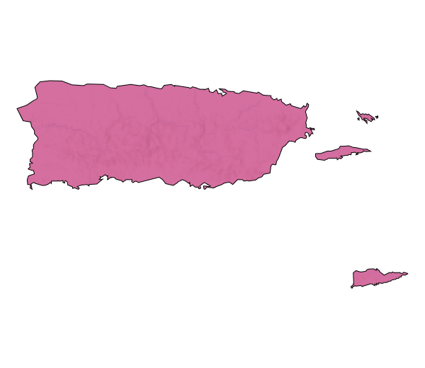
The US Caribbean region comprises several islands that are home to over three million people and unique ecosystems, including coral reefs, forests, and beaches. The US Caribbean region faces climate change impacts including warming air and ocean temperatures, ongoing ocean acidification, and rising sea levels. As climate change continues to progress, this region is expected to experience more heatwaves, severe hurricanes, and increased storm wind intensity.
To learn more about regional climate impacts, please visit Chapter 23. US Caribbean of the Fifth National Climate Assessment. To explore EPA’s adaptation efforts, please visit 2022 Region 2 Climate Adaptation Implementation Plan (pdf) (1.38 MB).
Alaska
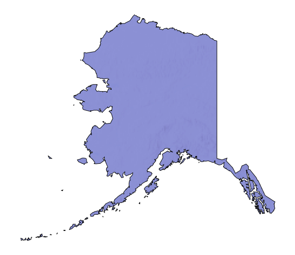
Alaska is home to a population of approximately 735,000, including 21 distinct Indigenous Peoples and more than 200 communities are in isolated areas located unconnected to a road system. The region is known for its permafrost, sea and land ice, and snow. Alaska’s natural resources, communities, and villages face ongoing climate impacts, including warming oceans, melting sea ice, ocean acidification, and increasingly frequent extreme weather events. Due to climate change, Alaska is expected to experience less snowpack, sea level change, more damaging wildfires, and hotter temperatures.
To learn more about regional climate impacts, please visit Chapter 29. Alaska of the Fifth National Climate Assessment. To explore EPA’s adaptation efforts, please visit 2022 Region 10 Climate Adaptation Implementation Plan (pdf) (851.98 KB).
Hawaiʻi and the U.S. Affiliated Pacific Islands
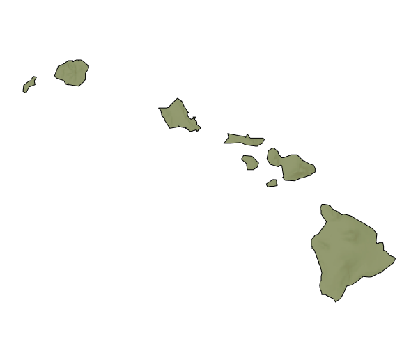
Hawaiʻi and the US-Affiliated Pacific Islands region includes over 2,000 islands and is home to 1.9 million people, many of whom are Indigenous Peoples and communities of Asian heritage. The region’s biodiversity has continued to experience climate impacts, including warming air and ocean temperatures, ongoing ocean acidification, and increasing sea level rise. As climate change continues to progress, this region is projected to experience stronger tropical cyclones, more rainfall, and higher storm surge.
To learn more about regional climate impacts, please visit Chapter 30. Hawaii and US-Affiliated Pacific Islands of the Fifth National Climate Assessment. To explore EPA’s adaptation efforts, please visit the 2022 Region 9 Climate Adaptation Implementation Plan (pdf) (2.25 MB).
To learn more about this resource and find answers to frequently asked questions, please visit the Climate Change Connections Resource Background webpage.
