From Outer Space to Underwater: Determining Seagrass Health and Condition in Southern New England Waters Using High Resolution Remotely Sensed Imagery

Published October 25, 2022
Seagrass is a critical marine habitat for many fish species. It also sequesters carbon, serving as an important buffer to climate change. To conserve this important resource, it is necessary to have accurate and up-to-date maps of seagrass distribution and condition. Federal, state, tribal, and local natural resource managers are always in need of data to help manage seagrass as an important resource, but data is often limited and costly. Coastal management programs commonly use low-altitude aerial photography to generate seagrass distribution maps. However, because low-altitude aircraft imaging is costly, it is performed infrequently, resulting in data gaps that can underrepresent seagrass distribution. Additionally, aerial photography cannot provide needed information on seagrass abundance, including biomass and primary production levels. Information about seagrass abundance and condition is assessed in laboratories using plant samples and data collected by dive surveys. For states with extensive coastlines, the combined costs of aerial photography and dive surveys present a challenge.
In search of an alternative approach to assessing seagrass health and distribution, EPA researchers used historic and newly collected seagrass abundance data to determine if satellite images could be used to accurately estimate the location, abundance, and growth of seagrass in southern New England coastal waters.
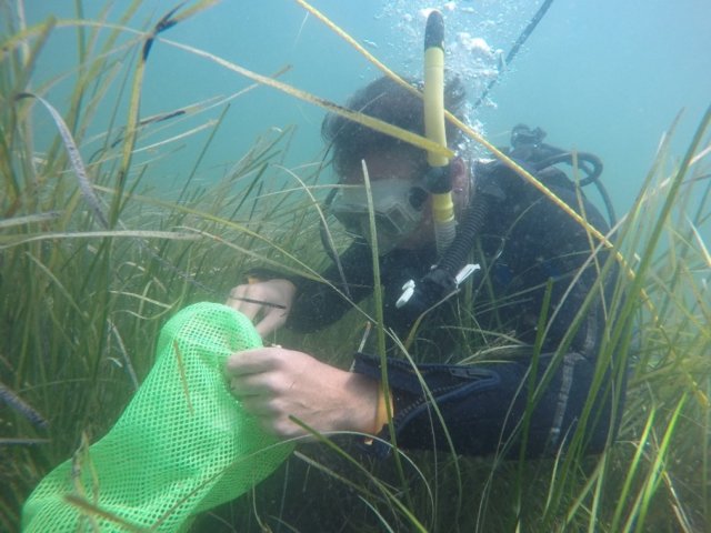
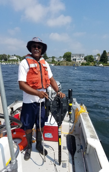
Landsat 8, a satellite launched by National Aeronautics and Space Agency (NASA) and United States Geological Study (USGS), and Sentinel 2, a satellite launched by the European Space Agency (ESA), are in low Earth orbit measuring and imaging the Earth’s surface. Using the freely available high resolution (30 meter) imagery from the Landsat 8 and Sentinel 2 satellites, EPA researchers examined the imagery and successfully developed algorithms to estimate seagrass distribution, abundance, and condition in Southern New England waters. To verify the algorithm, EPA divers collected vegetation and water column samples, and EPA researchers collected underwater imagery at five southern New England and Long Island Sound estuaries.

The results showed that seagrass distribution and health parameters can be determined and mapped on an estuary-scale using data from Landsat 8 and Sentinel 2 satellite images. “Our project showed that satellite remote sensing can provide added value to data used for monitoring valuable natural resources,” said Dr. Darryl Keith, a lead EPA researcher on the project. The successful use of remote sensing methods to map seagrass will provide federal, state, and local natural resource managers a set of tools to efficiently generate large-scale estimates of seagrass distribution, abundance, and condition.
On the importance of the work on seagrass, David W. Cash, EPA New England Regional Administrator said, “Science is the backbone of the work we do to protect human health and the environment. We are proud to have had the opportunity to collaborate across the federal family and even internationally to add another tool for tracking and mapping seagrass to our toolbox. Not only is seagrass part of a critical marine habitat, but it naturally sequesters carbon and assists with our battle against climate change.”
Frequent satellite overpasses allow for collection of multiple data points of seagrass meadows of interest per year. “This work demonstrates a cost-effective method to collect critical seagrass data used for natural resource management,” said Dr. Phil Colarusso, another lead EPA researcher on the project. More frequent and timely data collection will provide resource managers with better information to base management and conservation decision-making, thus improving conservation efforts of this important natural resource.
