Benthic Indicator Research
Benthic indicators report on the condition of invertebrate communities living at the bottom of the lakes. Benthic indicators are typically based on the number and types of invertebrates living at a site. EPA scientists conducted research on different benthic conditions, used video recording techniques to capture data, and then analyzed the video to report conditions.
On this page:
- Good vs. Poor Benthic Conditions
- Benthic Video Research
- Video Recording Techniques
- Video Analyses
- Related Resources
Good vs. Poor Benthic Condition

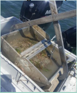
EPA researchers use grab samplers, a device that samples the sediment and invertebrates living on and within it, to get a snapshot of the benthic environment. The samples are analyzed to help determine the conditions. The number of different species and species densities reflect the chemical and physical conditions of the sediment and surrounding waters.
For example, a low-density community dominated by species that are tolerant of metals or pesticides in the sediment may be assessed as “poor”. A high-density and diverse (high number of different species) community indicates good conditions. Density, diversity and other measurements (link back to main Indicator page) use comparisons between the species and densities found at a site and the species and densities expected under good, fair or poor conditions in various types of coastal waters.

Benthic Video Research

EPA researchers working with the National Coastal Condition Assessment (NCCA), one of the four different National Aquatic Resource Surveys (NARS), used underwater video of the lake bottom to enhance benthic assessments. Between 2009 and 2016, underwater video recordings captured the condition of the Great Lakes benthic region.
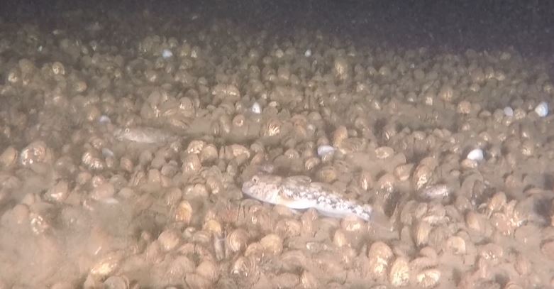
Video recordings provide information on benthic species often not captured in typical grab sediment samples, including some benthic fish and mussels. Recordings also provide information about sites with hard substrates, where grab samplers cannot be used. Aquatic experts reviewed these videos and used them for classification based on the visible conditions, like the native and invasive species present.
Video Recording Techniques
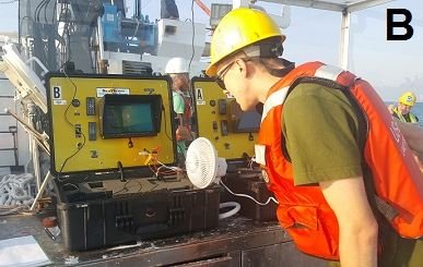
EPA researchers have tested several underwater video techniques. For recent assessments on Lake Ontario and Lake Huron, research vessels equipped with cameras and lights on large steel carriages captured the underwater scene. A similar process was used for an assessment of the Niagara River in 2018, but smaller boats were used and cameras were mounted on a smaller frame that was lowered to the river bottom by hand.
Video Analyses
EPA researchers and collaborators developed the Deep Lake Explorer project. The project used participatory science to improve the efficiency and reliability of observations. Volunteers for the project took an online training to help them identify invasive species and other environmental conditions.
Read the publication about the Deep Lake Explorer project results.
